We planned a walk for Tuesday 8th September 2026. But two unforeseen circumstances forced us to cancel. First, on the Monday, no sooner was I out of bed than I over-stretched, twisted, or something and ouch, there went my back. Couldn’t stand, couldn’t sit, couldn’t do anything. Then, as if to quieten my curses, on the Tuesday it rain. And rained. And rained. So we would have cancelled the walk anyway. I have therefore delved into my archives to bring you a walk from 14th September 2022.
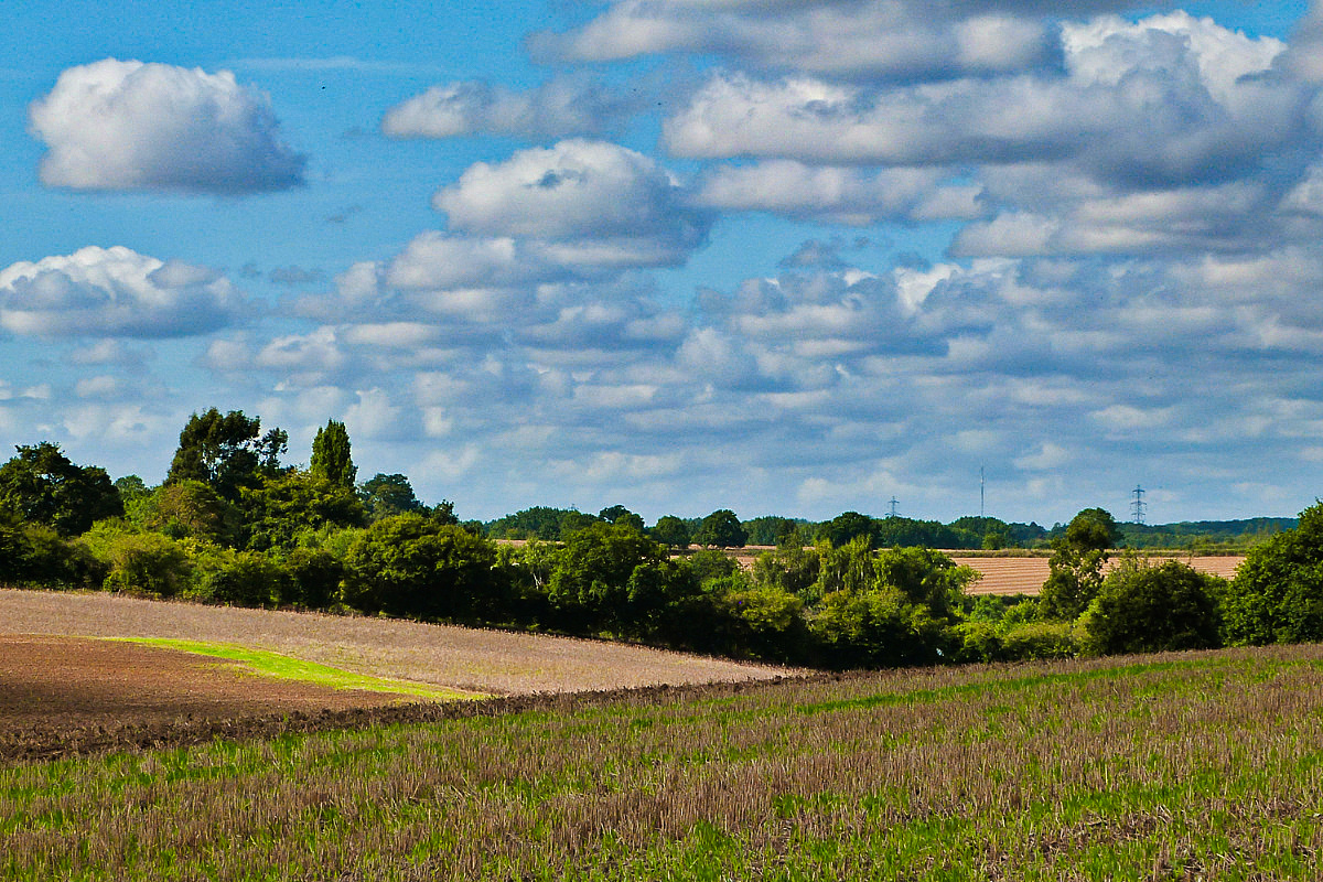
We’re walking from Norfolk’s second highest place, Poringland (the highest is the North Norfolk Ridge) to the Tas Valley which is barely above sea level. But I’m omitting the first dozen photos, these later shots are more interesting, the landscapes greener. As you’ll see, it was a wonderfully sunny day. Hope you enjoy…
14th September 2022
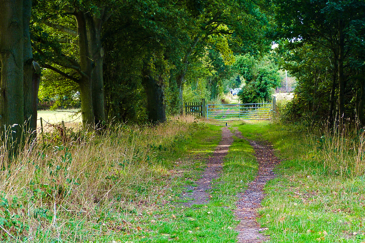
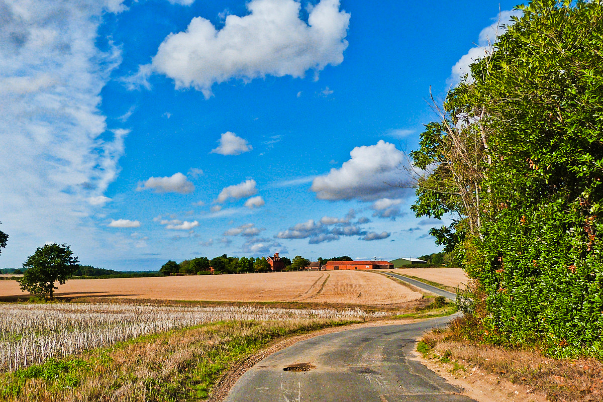
🔼 After a steep jolt down a hill, we come to this tree-hung track 🔽 which in time leads us onto a wiggly-woggly lane. The red ahead is a farm. We pass through the farmyard and…
14th September 2022
14th September 2022
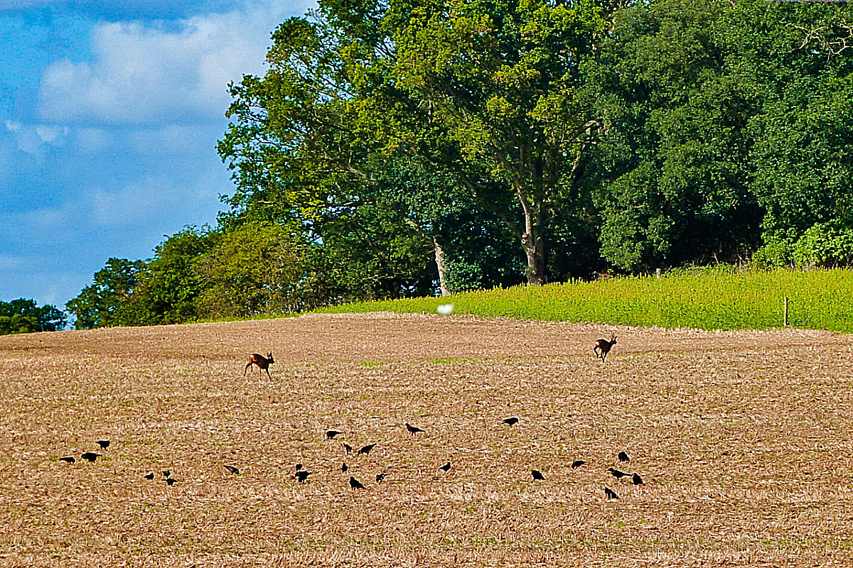
🔼 I’ve improved my reaction time since this shot of fleeing deer! 🔽 We’re between villages and on undulating land
14th September 2022
14th September 2022
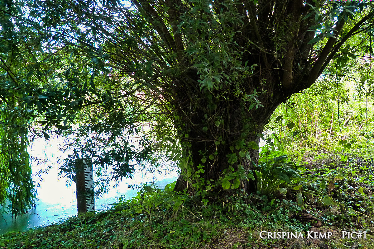
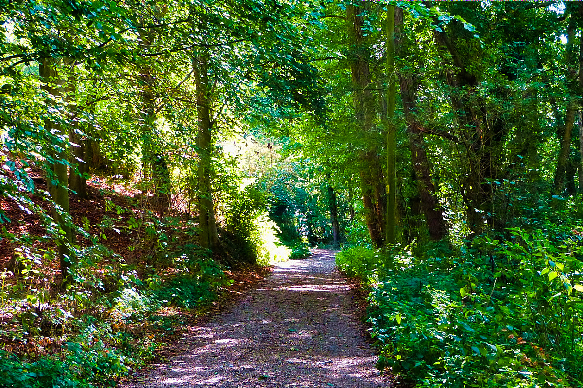
🔼 After Poringland, the next village is Shotesham All Saints. Here an ancient willow sits beside the village pond…which apparently often swells and floods 🔽 We never walk roads when we can walk green lanes… this cuts close to the church, which sits on a hump (this is Norfolk, we don’t have hills)
14th September 2022
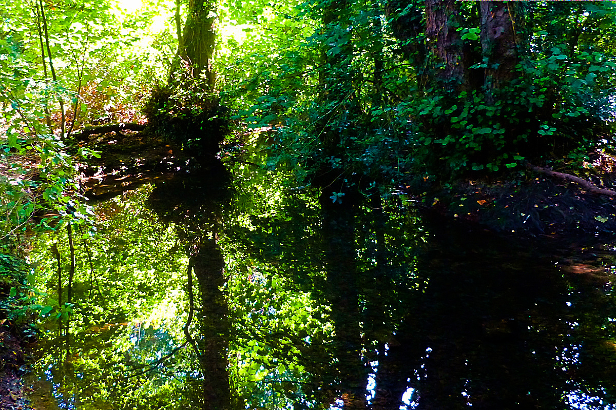
🔽 This is clay-land with the ever-need of drainage. Rills (natural or otherwise) are everywhere, this day reflecting the strong sunlight
14th September 2022
14th September 2022
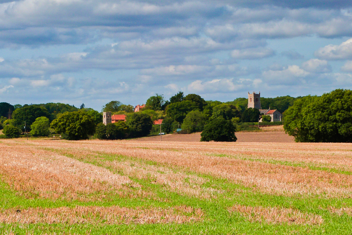
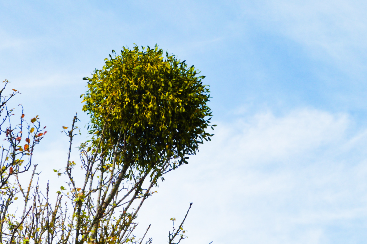
🔼 In days of yore Shotesham comprised four parishes, and with a church to each parish (definition) the later (combined) village ended up with four such edifices. All Saints, already mentioned, and here St Marys are still active. The other church here, St Martins, is little more than a tower. While the fourth, St Botolphs, remains as a lowly wall. 🔽 This area is rich in mistletoe, here rooted into an apple tree
14th September 2022
14th September 2022
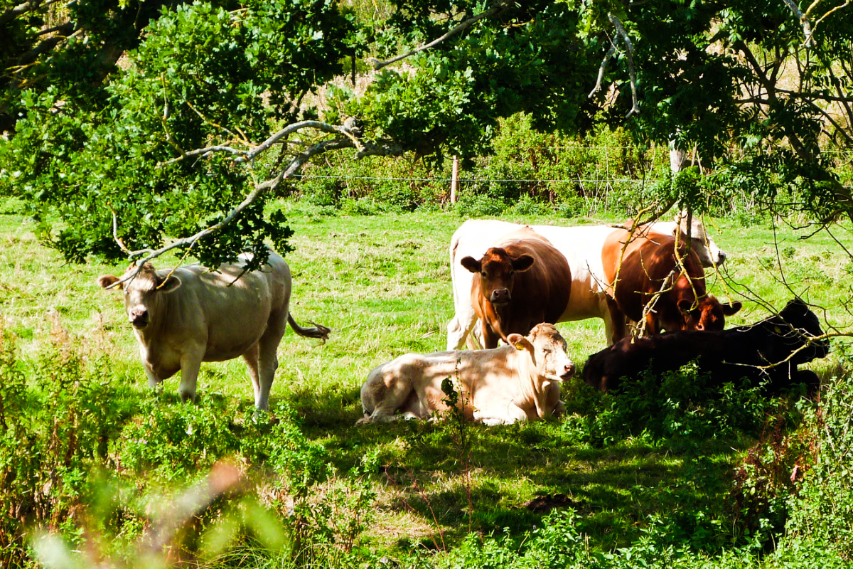
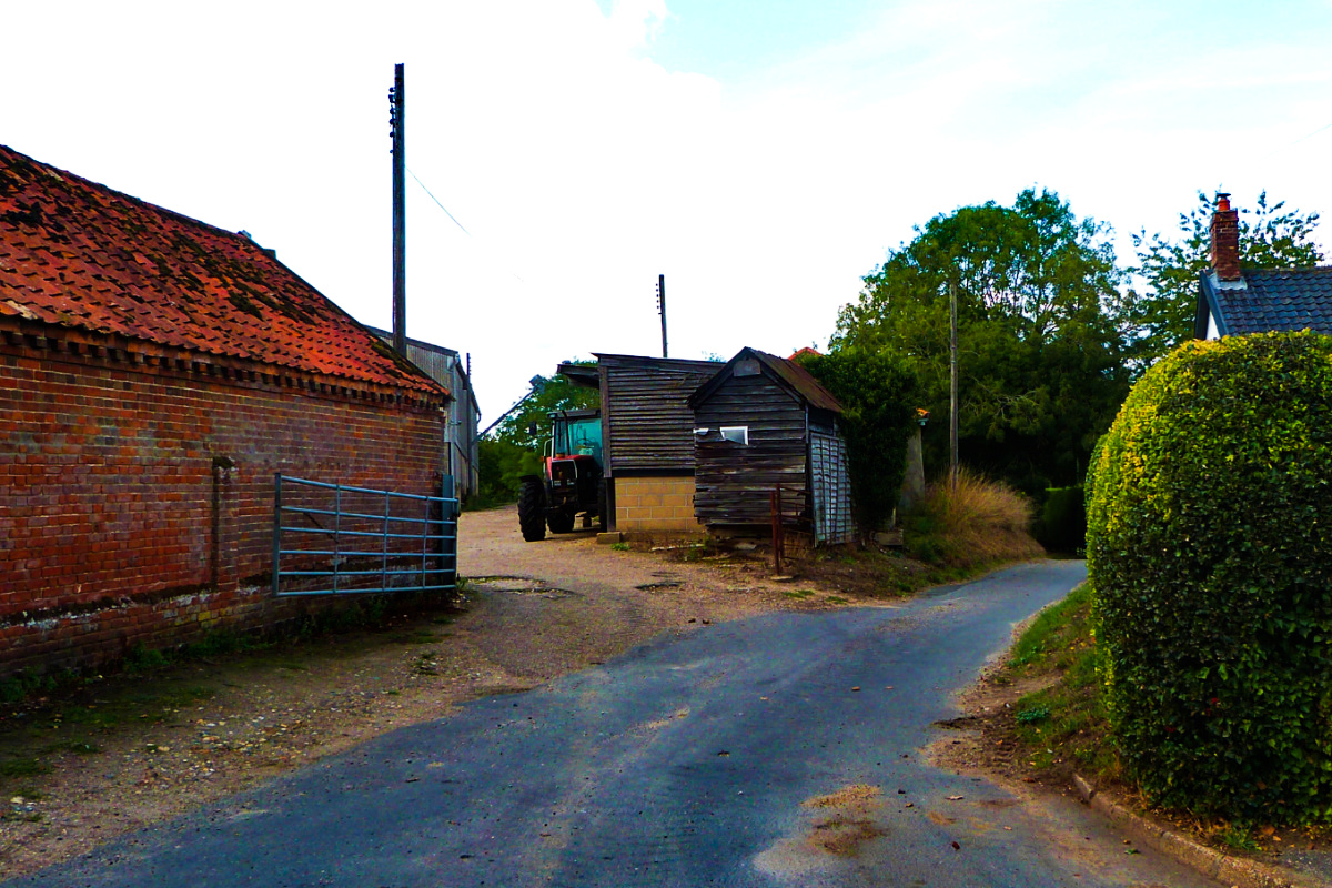
🔼 The next village is Saxlingham Nethergate, with its companion Saxlingham Thorpe bordered by the Tas. As with Shotesham, it’s founded on clay soils, so lots of pastures… and cows 🔽 Where there are cattle, there are barns and barnyards…
14th September 2022
14th September 2022
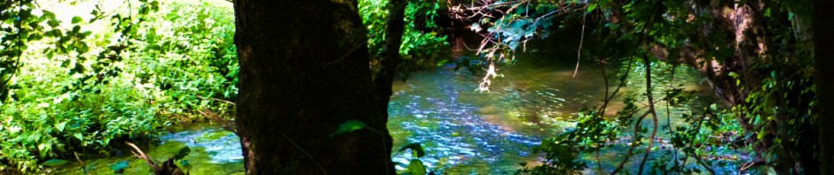
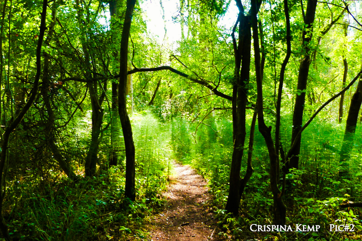
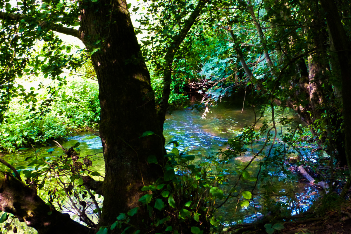
🔼 We arrive at Smockmill Common. The mill no longer exists (my father remembered it) but it’s still a common, there for all to enjoy. Great Horsetails have colonised the common alongside the river with plants reaching to six foot and beyond 🔽 We sneak a peak at the Tas rippling beneath the ever-present alders
14th September 2022
14th September 2022
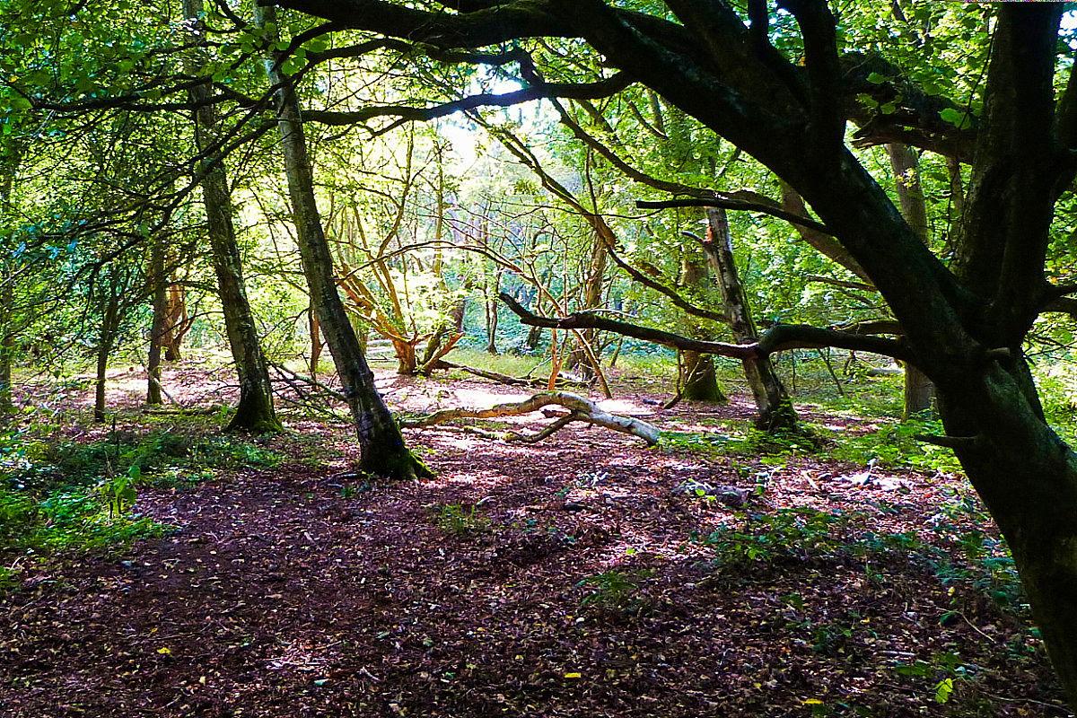
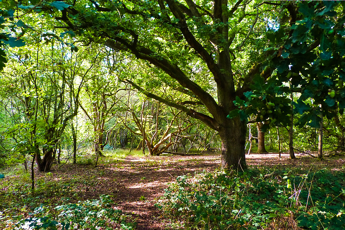
🔼 The common climbs a hill whereupon in former days sat the old mill. Beneath it the common is open and wide though plentiful trees have taken up residence since my father and friends played football here 🔽
14th September 2022
You might have realised I have family connections with these villages, though none now living. That tends to tint my glasses! But I hope you enjoyed it anyway.
Back to normality next week (fingers crossed) 🤪


Beautiful walk it’s lovely to have a connection to the land. I love the trees – especially the shot of the Tas through the alders – it reminded me of my childhood home an old mill house to the side was a small woods with a stream running through and your photo looks exactly as I remember it 🥰
LikeLiked by 1 person
So pleased some of my photos help trigger such fond memories 🥰💖
LikeLiked by 1 person
❤️
LikeLiked by 1 person
🙏
LikeLiked by 1 person
I enjoyed the set of pictures of Shotesham and Smockmill! And some really nice verdant places. 👍☺️
LikeLiked by 1 person
There was no drought in 2022! 🥰
LikeLiked by 1 person
That’s great! 🥰
LikeLiked by 1 person
It’s a rare year when we get a drought
LikeLiked by 1 person
We get a drought each summer here. Rarely do we get rain.
LikeLike
Heck, how’d you survive without the rain?
LikeLiked by 1 person
We stayed cool and hydrated, turning the fans on while drinking cold water most of the time. ☺️
LikeLike
Whereabouts in our wonderful world are you located?
LikeLiked by 1 person
Good question! I’m from Syria.
LikeLiked by 1 person
Ah, that explains the lack of rain. Good to have you on board, my friend
LikeLiked by 1 person
Thank you, my friend ☺️
LikeLike
Beautiful greenery and love these trees
LikeLiked by 1 person
I know I say it often, but this is one of my favourite places
LikeLiked by 1 person
It is a beautiful place
LikeLiked by 1 person
Makes me happy that you agree
LikeLiked by 1 person
💖💖💖
LikeLiked by 1 person
🙏🥰
LikeLiked by 1 person
💕💕💕
LikeLiked by 1 person
Beautiful pix and hopefully your back has fully recovered. Love the term “wiggly-woggly” and will be making it part of my everyday lingo. With any luck, it will catch on here in The States! 😀
LikeLiked by 1 person
Thank you. On all counts. Yes, the back is repaired. 🙏💖
LikeLiked by 1 person