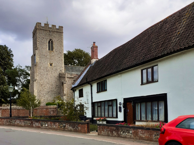
Saturday 22nd August, I shod myself in walking shoes, equipped myself with food and water, and caught the 6:30 am bus out of Great Yarmouth. At Norwich, I caught another bus to arrive at Newton Flotman by 7:40 am. It was a breezy day. It was to get breezier.
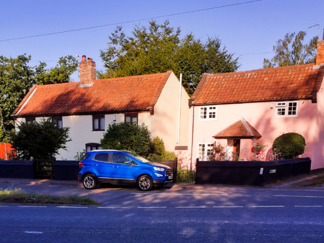
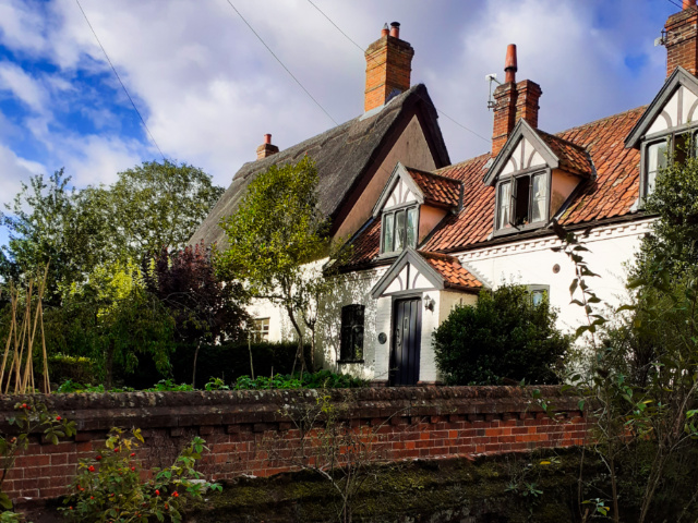
Early sun on the houses at Newton Flotman: 22 August 2020
My father was born and grew up at Newton Flotman. But his mother’s family had come from “across the road and down the lane”. That road is the A140, the old Roman Road from Venta Icenorum to Colchester. Down the lane are the two parishes of Saxlingham: Nethergate and Thorpe.
But first to cross the river; navigable in former times, now barely a stream. The Tas.

Reflections in River Tas: 22 August 2020
I’ve become quite obsessed of late with water-reflections.
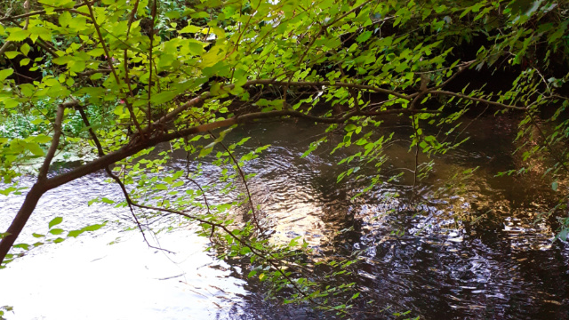
The sun ripples on the water: 22 August 2020
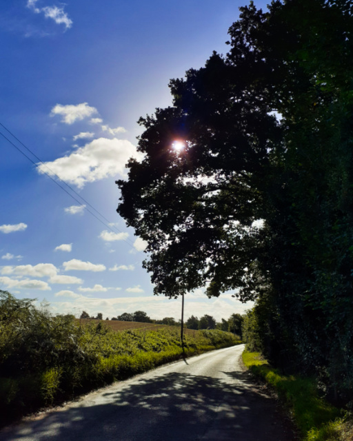
Cargate Lane from Newton to Saxlingham: 22 August 2020

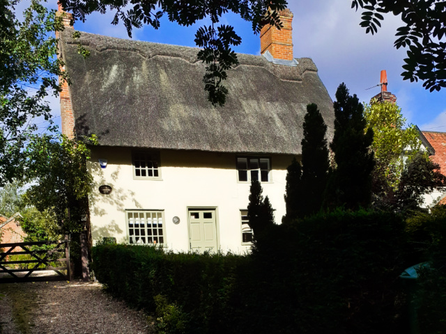
An iconic sight at Saxlingham Nethergate: 22 August 2020
As a child, I’d come through here on a bus to visit my other grandma who lived in the next village along. Every time I saw this barn, I knew we were nearly there.
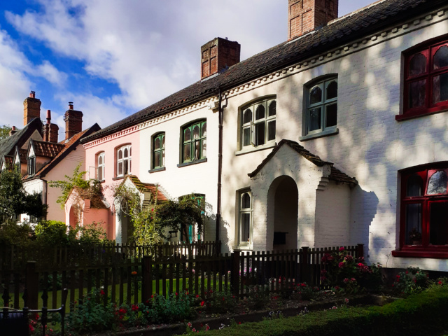
Saxlingham Nethergate: 22 August 2020
Saxlingham Nethergate: 22 August 2020
Saxlingham Nethergate: 22 August 2020
Deemed a Village of Outstanding Beauty. You can see why.

Wood Pigeon… posing: 22 August 2020
You see the sign he’s sitting on? Generally, that means restricted to farm traffic. But in this instance, I think it means foot traffic…
Wash Lane, a Restricted Byway: 22 August 2020

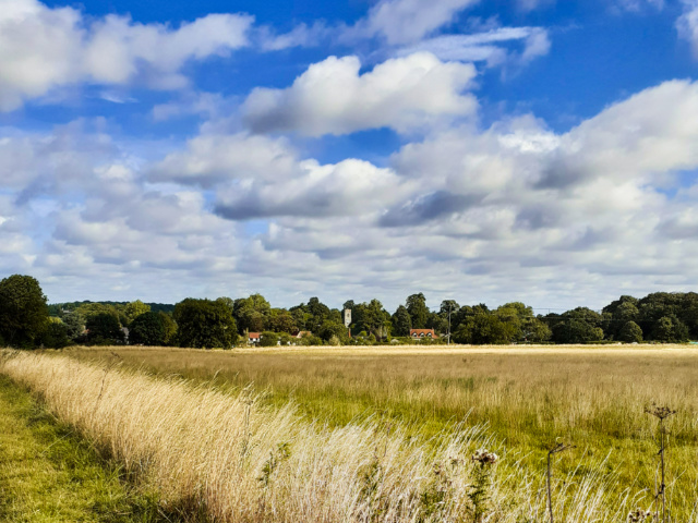
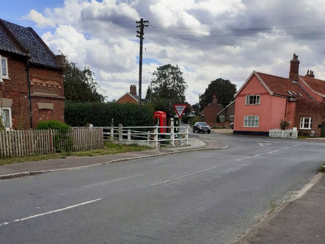
The long lost village of Saxlingham Thorpe: 22 August 2020
Today, what remains of Saxlingham Thorpe hugs the parish boundary with Newton Flotman and shares the advantages of being close to a main arterial road.
Looking back to Saxlingham Nethergate: 22 August 2020

Parish church of Saxlingham Thorpe: 22 August 2020

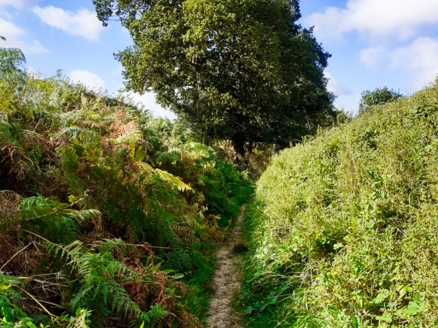
A greenway takes me to the next village: 22 August 2020
My maternal grandma lived in the next village. Hempnall. Not the place of her birth; she came from South Norfolk, from close to the Waveney. But my maternal grandfather’s family had settled here.
St Margaret’s Church, Hempnall: 22 August 2020
View from the bus shelter: 22 August 2020
Oh, the times I had waited here as a child. Then we didn’t have phones that doubled as cameras. We didn’t have easy connections. And nor had I. The 4G connection was erratic here. Whether that’s the usual state or whether it was due to the winds and threatening storm… beyond me to know.
I spent a lot of time in Saxlingham in 2016-17. I researched its history from the earliest times. I trod its bounds. The results of that research formed several posts here on WP. If you’re interested, see here:

So many things we never even dreamed of as children have now come to pass. I was outside a bit ago looking on my phone at my Stellariium stargazer’s night sky map. 🙂
It’s great that you can revisit the scenes of your childhood and they’re still intact, not all replaced with the latest in modern designs. 🙂
LikeLiked by 1 person
Indeed. Though there are changes to the places of my youth, those changes are small. The Norfolk villages continue on as they have for centuries, slowly evolving, adapting to each new technology as it comes
LikeLiked by 1 person
You could write a whole book just listing the amazing place names over there, each one must tell a story
LikeLiked by 1 person
Yea. I’m fascinated by our village histories. So much more interesting than kings and queens
LikeLike
Thanks for sharing your walk down the memory lane.
LikeLike
Pleasure as ever
LikeLiked by 1 person
🤎
LikeLiked by 1 person
Nice sharing. I feel like I’m walking with you
LikeLike
And I was happy to have you company 😉😊🙃
LikeLiked by 1 person
What a lovely walk! Made more pleasant by knowing the shaded footpaths that connect the villages, I’m sure. When were those villages settled? Some of those buildings look pretty old.
LikeLiked by 1 person
Some of the buildings in Saxlingham date back to C16, at least their interiors. As to the villages, they are mentioned in Domesday Book (1086 CE) but probably existed from at C6th CE in some form. England is old, and this area was amongst the first to be settled by Anglo-Saxon migrants even before the Romans left
LikeLiked by 1 person
Thanks for the details! The buildings look younger than that (to my unpracticed eye), but I’m only seeing the exteriors, and who knows how much they’ve been changed over time.
LikeLiked by 1 person
The exteriors date to C18th/C19th generally, but they would have been clad around the older interior.
In the same way, my place was built 1604, but the frontage is 1755. It looks Georgian at the front and Jacobean at the back
LikeLiked by 1 person
That makes more sense, thanks for clarifying.
LikeLike
I’ve read the surveyor’s reports on most of them, so I’m aware of what’s hidden inside.
LikeLiked by 1 person
It’s a beautiful village/town. I love the thatched roofs!
LikeLiked by 1 person
They’re not uncommon in this part of Norfolk (we grow the reeds here, too) But they are still very expensive to insure, despite no one uses coal or wood fires now
LikeLiked by 1 person
Hm, that’s true, you never think about places with wood fires.
LikeLiked by 1 person
In this part of the world you do. Walk down a village streeet and you see the stacks of wood cut ready for winter
LikeLiked by 1 person
I know I started reading this post on Sunday… must have been distracted and then forgot to come back. My bad.
This was a wonderful walk, Crispina. To have all those beautiful, lovely buildings and ruins and fields and… just fabulous.
LikeLiked by 1 person
One of my favourites… don’t know how many times I’ve walked those greenways. Always enchants
LikeLiked by 1 person
No kidding!
LikeLiked by 1 person
Yep. Obsessed. 🙂
LikeLiked by 1 person
Just a “little”
LikeLiked by 1 person
😇😉😊
LikeLiked by 1 person
😉😏
LikeLiked by 1 person
I went looking on a map to see where you’d gone, and think I ran into a naming problem. My map shows Saxlingham Thorpe due south of Newton Flotman, while the village between Saxlingham Nethergate and Hempnall is called Saxlingham Green. Most obvious solution is that the Green is or was part of Thorpe. But please set me straight.
LikeLiked by 1 person
Saxlingham Green runs to the east of Saxlingham Nethergate, while Hempnall lies to the south. Saxlingham Thorpe used to sit between the two but has long since migrated to nudge against Newton Flotman.
One of the links I provided has a map… but I’m not sure which link.
LikeLiked by 1 person
The migration you describe solves my cartographic perplexity.
LikeLiked by 1 person
Oh good
LikeLiked by 1 person